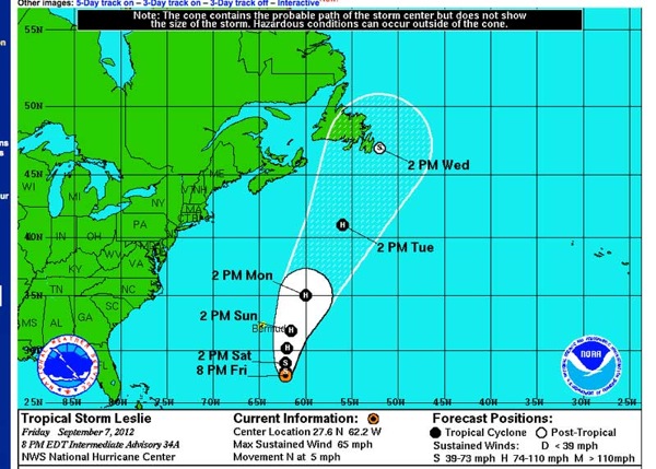
Hurricane Leslie is forecast to give Maine a wide berth, and make a direct hit on the eastern corner of Newfoundland. But keep a weather eye peeled. This is a complex weather scenario and it would not be unheard of for Leslie to shift course more to the west.

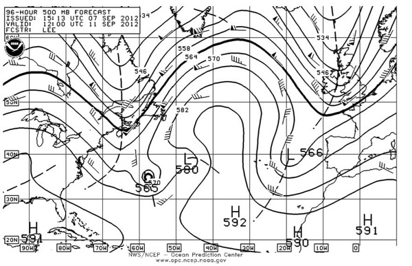
The 96 hour 500 mb forecast shows the Azores high being squeezed north, with another high building in from the west. Major changes in these features will drive Leslie one way or the other.

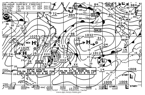
The 96 hour surface forecast shows a compression gale between the east side of the western high and the west side of Leslie. This means northerly quadrant winds along the New England and Maine coast, shown here at gale force.

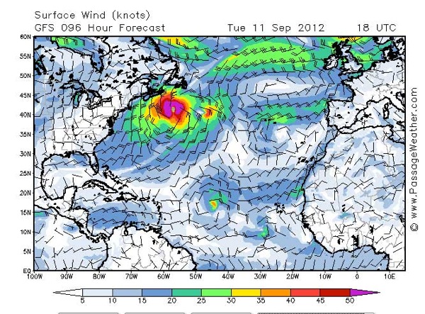
For comparison, the GFS raw model forecast, showing a bit less wind.
We’re going to check anchor holding and protection in several local hurricane holes. We think the probability of a direct hit low, but you never know. Better to find out the options now before the rains and wind commence.
