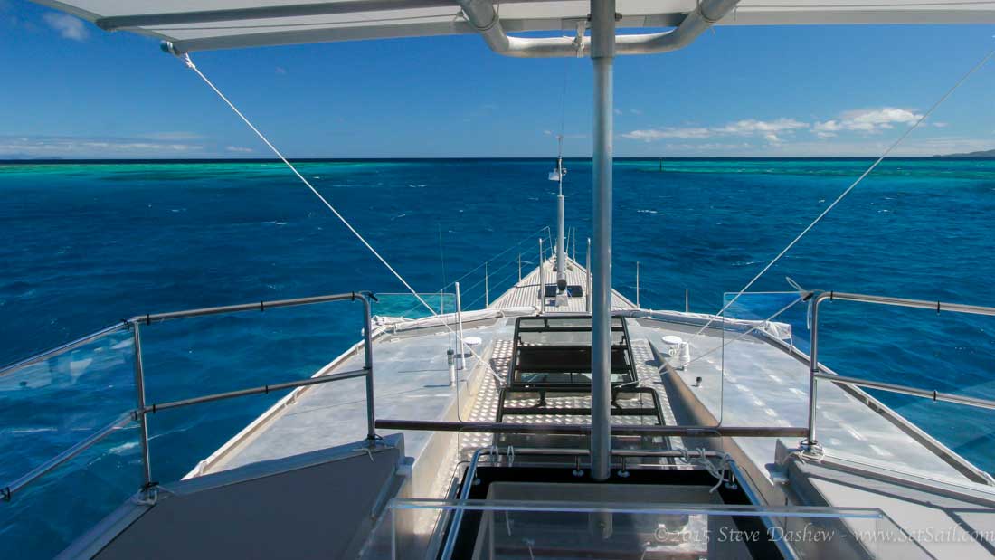
Having earned our cruising stripes with a sextant and lead line, when we were rarely ever certain of our location underway, we love the accuracy and ease of use of modern electronics. But it’s easy to get lost in the bells and whistles, at the expense of situational awareness.
To begin with, there are so many choices in terms of brands, capabilities, and integration ability. Without on-the-water experience with a given brand it is hard to make the right decision. We are faced with this problem now with the first FPB 78, so we thought we’d bring you into the decision making process. Let’s start by establishing the ground rules for what we are trying to achieve.
- We want the simplest system that gets the job done.
- Our primary concern is to avoid information overload, and ease of use in a stressful environment.
- Reliability, and the owner’s ability to sort out problems, is a key concern.
- A fallback system is desirable in the event of a nearby lighting strike or some form of voltage spike that takes a toll on the electronics.
- We do not want an electronics package that dominates visually. Rather than desiring a star wars-like bridge, we take pleasure in having the minimum necessary to get the job done.
- Isolated components, rather than everything integrated in a single system, is desirable from a reliability standpoint.
- Components that are plug connected rather than using terminal strips are preferred.
- We are not averse to using non-marine monitors, so long as they dim sufficiently and work in bright conditions (this is less of a problem with the FPB 78 because of the large roof overhangs, which reduce glare).
Now to specific systems, starting with the autopilot(s).
- The FPBs steer so easily that sophisticated learning algorithms are not needed, and in fact typically undesirable. Most “learning” systems filter data and average things out. The averaging slows down response as conditions change, which becomes more important as sea state deteriorates. We would rather set the basics ourselves, and then make changes to deadband and rudder gain as required.
- A compass with a rate sensing gyro, that delivers data at a minimum of 10Hz update rate, is mandatory.
- Followup JOG levers are needed at the two fixed and two roving helms.
- The two fixed helms will have a steering pump direct control lever, with no electronic circuitry, so that we can have immediate override of the pump(s) should anything go wrong with the electronics.
- Easy access to sea state (deadband) and rudder gain controls is essential. Ideally there are control knobs but these seem to be going away. If adjustment is to be menu driven, a minimum of required keystrokes is critical.
- There will be dual autopilots. Each with its own compass and rudder angle indicator.
VHF is solved with a fixed unit that can be operated from either helm. When a second VHF is required this is handled with a portable. The ability to call an AIS target using DSC is desirable.
Long range communications as of this writing for the South Pacific means using Iridium, which has the advantage of being relatively inexpensive, with a small antenna footprint. The slow data speed is fine for e-mails and weather data. We do not want a marine SSB. At a later date consideration might be given to a ham rig.
Radar and a chart plotter, as either independent or integrated items, gets us into the more difficult decision matrix. Let’s start with radar. Having been shipmates with the Furuno IMO class 2117 with Wind Horse we are spoiled. This is still the best radar for difficult targets. But it is heavy, expensive, draws lots of power, and is not user friendly. You need practice and training to take advantage of its capabilities. We have done a sea trial with the new Simrad Halo radar (four foot open array antenna) and the latest version of their little 4G radar. The 4G is a very impressive piece of gear, given its size and price point. It also works well as an anchor watch with its low power consumption. The Halo radar trial we had was unimpressive. The Halo was in its beta software phase, and it will probably get a lot better. But based on our May trial we would be hesitant to have it as a shipmate.
The desirable radar characteristics are:
- Maximum ability to pick out targets in sea and rain clutter inside the two mile range.
- Accurate ARPA/MARPA and AIS.
- Target trails and course projection options that allow us to tailor how these work to the conditions in which we find ourselves.
- Multiple ranges displayed at the same time with individual controls would be nice but are not essential.
Dedicated chart plotter or computer based charting program? Having only used chart programs which run on the PC in the past, we can see both the benefits and problems with this approach. What we are after is:
- Ease of use and reliability.
- Capability of using multiple chart formats.
- Remote control is desirable but not critical.
AIS is considered essential.
Sonar and depth are a difficult category. In the depth sounder we need 600’/180m of decent resolution. In the ideal world the sounder has the ability to differentiate between grass, rocks, sand, and mud bottoms. About fish we care not. Sonar is a big help if it works properly. Our previous use of the Furuno CH270 sonar was very rewarding, but this comes with cost, a 150mm/6” hole, and less-than-easy user interface. We’d give up range for simpler operation. We had hopes the Simrad FLS might fill the need, but the trial we had with this was not impressive. We would trade the Furuno CH270 capability for a solid 460’/150m of forward range.
In this same context one of the things we are looking for is the ability to add depth track data to charts on our own, without going through an online service. The dream system would entail surveying in the dinghy, with the position and depth data fed directly to the mothership.
We’d love to hear any and all suggestions from those of you with experience in these areas.
Posted by Steve Dashew (July 17, 2015)
July 17th, 2015 at 8:42 pm
For what its worth. In the end we had 5 laptops (2 in the pilothouse the rest below in storage) with Max Sea running C-Map CM93 software. Simple and no single unit ever failed……..ever. The last few years we used a remote monitor coupled to the newest laptop. Never failed…….ever. JRC radars, both 4kw. One closed ray 24″ and one open ray 4′. Both 4kw. Neither failed………ever. Simple beyond simple. Lowrance bottom machine. It was easy to differentiate between soft mud, sand, rock and heavy grass and just as important was the bottom trend. Shot thru the hull so no great range coming from deep to shallow but still effective. Never failed………ever. VHF. Standard Horizon with remote mic. When we were building boats we sold over 100 Standard Horizon VHF’s with zero returns. We had a Standard Horizon VHF mounted in the flybridge with a remote in the pilothouse, one VHF mounted in the pilothouse with a remote in the master stateroom and one new in a box. No failure…….ever. Still have one new in a box. AIS was stand alone to keep the navigation screen as uncluttered as possible. All of this was over nearly 14 years and a few miles chugging here and there.
Every unit is dirt cheap and effective. You can spend lots more but can’t get better than no failure……..ever, or no navigation issues……ever.
S.
July 18th, 2015 at 12:54 am
VHF Standard Horizon 2150. Comes with AIS receiver built in and mini radar like screen to track targets. Will output AIS data to a PC or chartplotter. Makes it easy to call ship by name on 16 rather than a DSC call which the watch stander on your typically poorly trained ship won’t know how to answer! Great backup to a stand alone transceiver.
We have used paper charts for decades and only switched to electronic charts this past year.
#1 method is a tiny 4″ x 4″ Intel NUC PC with big 21″ Samsung LED backlit monitor. Both run on 12-15V natively with no need for converters. Draws 4A total and the NUC uses a low power Haswell laptop CPU powerful enough to run AutoCAD, Rhino and Lightroom.
Chartplotter software is OpenCPN. Maps are CMap. Google earth overlays of satellite photos using the GE2KAP add on software make navigating in coral strewn/badly charted areas like Maldives and Chagos much safer. Our other laptop has same software and charts and can plug into big screen if main PC fails.
#2 method is an 10″ Android tablet with GPS, running Navionics HD charts. Super value because you get all charts for huge regions (I.e. all of Australia and SE Asia) for $80. Not sunlight readable except in the shade of a Bimini. We put it in a clear type waterproof dry bag meant for kayakers charts. The touch screen works through the clear plastic. Also uses Google earth when you are in 3G range. Uses far less power than the PC, the Navionics charts are sometimes better than CMap (sometimes not). Used a lot on passage to check position every 1/2 hr when you don’t need constant situational awareness. Navioncs charts on iPads are similar experience.
Our depth sounder is a cheap Garmin 120 fishfinder. Shoots thru the hull, reads to 600′ and you can distinguish between sand, mud, rock and coral with ease. I’ve been on commercial ships with much higher end Furuno gear and never seem to see anything better than what our fishfinder shows. Throw in in as $150 backup Throw it in as a backup to a big sonar.
July 18th, 2015 at 1:48 am
Hi Steve: Only questions I’m afraid: 1. You don’t consider radar overlay on a plotter a requirement for spotting datum errors? 2. Is the second roving helm for the aft deck or for the starboard side of the matrix deck? 3. I’m guessing the cost alone disqualifies it, but did you consider Farsounder?
July 18th, 2015 at 7:49 pm
We are not fans of radar/chart overlay. It is too easy to make errors especially under stress.Re Farsounder, if we are going for the big budget sonar ten we’d probably opt for the Furuno CH270.
July 18th, 2015 at 2:28 am
Steve..
for the chart plotter: OpenCPN is a candidate you might consider: http://opencpn.org/ocpn/
After more then ten years of development by active cruisers now resulting in the actual stable Version 4.0 it is a mature tool in use by more than 250.000 sailors worldwide.
Professionals, circumnavigators, cruisers, live-aboards, weekenders, and yes arm-chair sailors as well. Often used for planning purposes or as back-up system. But as well as the primary plotter.
Scalable from RasPis to workstations under Linux, Windows or OS-X, network enabled and open for multiple types of cartographies including the S-57/S-63 vector charts. Mixed and seamless use of vector and raster charts. Great AIS support.
Plug-ins allow to tailor your software package adopted to your preferences. It’s far from being just a toy – even if there are a lot of geeks who enjoy to play with it.
You will find Gribs, Weatherfax overlays, the latest WMM, support for several radars (not your favorite Furunos), voyage data recorder, Watchdog and a lot more.
Your idea of a detached depth sensing being reflected on the main plotter might be candidate for a plug-in – the system is open for contributions. Just make it.
And with a very friendly user forum for support around the clock.
July 18th, 2015 at 7:02 pm
The depth sounder dinghy measurement and data transfer is something I have dreamt of. Keep us apprised of what you find there as we are looking to replicate it.
July 19th, 2015 at 9:59 am
For the dinghy to boat communication, why not use a boosted WiFi signal to integrate the system on the dink to the primary. Should be able to get ~2mi in decent weather. It would pull more power on the dink, but would only be needed when the engine is turning anyway. This would allow the data to directly feed to the master charts. It seems that the kicker would be to ensure that GPS data is sent in coordination with depth. On the same front there are crowd sourced depth charts now. Running a local server to receive and update that stored data wouldn’t seem to hard. Most systems like that run linux and you can pickup laptops capable of running that level of demand for ~$300. The client server option would give you store and update choices that the simple wifi antenna wouldn’t. The combination of the two could mean that after scouting the bay/anchorage/reef/etc the system would update as you got in range to the boat.
Depending on the complexity of the API for OpenCPN mentioned above, the plugin to pull data from the dink shouldn’t be overly complex. Some of the small DC powered computers currently available could easily be weatherproofed and stuck in the console of the dink to perform the store/send functions without risking the primary functionality of the GPS/sounder on the dink. They could pull the data off a NMEA 2000 network as it passes by, or get it from a splitter. The goal being to get the data without adding a point of failure to the dink systems (T’d vs. Inline). Either way as you said, this is a nice to have, not critical system and therefore might not require the same level of reliability/redundancy that the actual plotter and sounder do.
July 19th, 2015 at 8:09 pm
Sounds intriguing Louis, but way beyond my tech level. Does anyone know of a package that does this? A minimum communication dustance would be fine, say 250/300 meters.
July 20th, 2015 at 7:04 am
A quick & dirty way would consist in some small embedded system running OCPN and the sounder with NMEA0183 output hooked to it. Add a GPS mouse. And a WiFi booster.
Abuse from one of the NMEA sentences OCPN ingests and modify it’s content . $FRPOS comes here to my mind – for the “altitude” perhaps “depth”. Or the depth as the buddy name.
Now send this sentences via WiFi to the mother ship. OCPN will read it from the IP port and plot the points. The only missing “brick” here is to use the existing information – position and depth – to “fake” the NMEA sentence. And to add a trigger perhaps when to send a data set. The rest is existing stuff from the shelf. – More elegant would be to implement the data stream as a SignalK set and show it via the draw-plug-in which is right now in testing stage of the latest beta of OCPN.
July 20th, 2015 at 12:23 pm
I’ve not done that level of research, but it definitely make sense. Some quick googling shows that with the proper antenna and wattage boost, 1nm is an achievable range, assuming line of site. Using that thought and based off the hummingbird FAQ listed below, the data can be multicast (sent to many receivers concurrently). If so the ‘simple’ solution would be to simply bridge the dink backbone with the FPB backbone via wifi and allow the FPB to receive the data in real-time.
All of this assumes that the charting software chosen can support inputs from both the onboard GPS/Sounder and the dink data at the same time. It appears that OpenCPN can.
http://www.humminbird.com/Category/Support/FAQ/Multi-casting/
Also found this article. Great concept, but not sure anyone has though of putting the chart integration step onboard.
http://www.hydro-international.com/issues/articles/id1403-Crowdsourcing__for_Hydrographic_Data.html
July 21st, 2015 at 12:57 pm
Thanks for this, Louis:
Will look into the Hummingbird more thoroughly. I wonder if any of the larger boat players have the capability like the Humminbird to create their own bathrythmic charts onthe fly? The literature looks very interesting.
Anyone have real world experience with this. To qoute the propaganda:
“AutoChart PRO operates the same way as AutoChart by using proprietary software that takes your Humminbird’s sonar returns and GPS to build custom lake charts. Create your own contour map on any lake in 3 simple steps:
Record sonar data after inserting a blank SD card into your Humminbird Combo.
Import your recordings into the AutoChart PRO PC program and convert your survey into a lake map.
Export your map onto the Zero Lines Map Card (included) to display on any compatible* Humminbird.”
The ability to create charts on the fly like this would be hugely beneficial to a ot of cruising yachts.
July 24th, 2015 at 7:27 am
My 2c on this, we have been using Digi Xbee modules at work for similar data collection applications. Quite cheap, simple and gives you miles of range with small omni-antennas. Have an Arduino or similar to hook up GPS and sounder NMEA and forward those over Xbee to mothership, where it is simple issue of NMEA logging (OCPN can do this right?). And/or even store the reading on SD-card as a text file, one card should cover around millenium worth of sounding data.
If using XBee/Arduino is too techical, there are plenty of commercial radio modem vendors with similar performance. Satel is one that comes to mind.
July 25th, 2015 at 10:13 am
And if you use commercial NMEA multiplexer like http://www.actisense.com/products/nmea-0183/ndc-4/ndc-4.html you dont need to bother with Arduino at all. Just hook GPS and sounder inputs and stream them with radio modem to mothership. Almost as simple as using and connecting conventional serial NMEA cabling!
July 26th, 2015 at 5:25 am
Question here is if you really want a data stream with the need to process the data into a map. With all the problems of interpolation, tidal and atmospheric parameters, pitch/roll/heave of the vessel to get the bathymetry right. I don’t say you shall not do this or it can’t be done.
The scenario Dave was painting: entering into an unknown or tricky anchorage sending a pilot boat to get soundings (even with a lead) might be satisfied marking just points with its corresponding soundings – either shoals or hazards or tracing a safe track, perhaps two sides of a lane like a buoyage.
You have someone experienced in your forwarded dinghy who can send either a data stream or trigger marks. Does this make sense?
Of course you shall be able to share this information with others or keep it for your records but you will not want to confuse it with a sounding campaign.
July 26th, 2015 at 5:46 am
That is the simple approach, Hubert, and simple is usually the best. On the other hand, if there was an affordable, reliable system for creating bathrythmic charts, it would be highly desirable.
July 19th, 2015 at 3:27 pm
On radar Furuno is still the best way to go in my experience. I have also had pretty good experiences with JRC commercial x band radars.
Simrad still have problems with giving correct MARPA target vectors and target speed calculations.
On the sonar dream system you should have a look at WASSP/Furuno multi-beam 120 degree wide angle sonar with possibility of mounting a transceiver in the tender and via WiFi showing live on the MaxSea chart computers on the mother ship(Pricey but a great working system).
http://www.wassp.com
July 26th, 2015 at 5:05 am
Here is a link to the press release and a video showing a test of the wassp sonar system from tender to mothership.
http://wassp.com/news-events/wassp-goes-wireless-with-new-remote-mapping-system/
July 24th, 2015 at 11:52 pm
Refer to the Nordhavn 60 blog “tanglewood” to learn from Peter’s trial by fire with marine electronics.
I would be awesome to do sonar recon in the dinghy with real time data dumping to the mothership.
July 25th, 2015 at 9:35 pm
“In this same context one of the things we are looking for is the ability to add depth track data to charts on our own, without going through an online service. The dream system would entail surveying in the dinghy, with the position and depth data fed directly to the mothership”.
http://www.seetrac.com/what-is-seetrac-2.html
July 26th, 2015 at 3:00 am
Thanks Doug:
Do you or anyone else have experience with the data return to the charting system? We would love more details.
July 26th, 2015 at 5:12 am
OpenCPN seems to have a plugin for this: http://www.cruisersforum.com/forums/f134/hydrographic-survey-plugin-79178.html
July 26th, 2015 at 11:48 am
Never used it myself.
http://cms.nobeltec.com/cms/Products/PlusPacks/TenderTracker.aspx