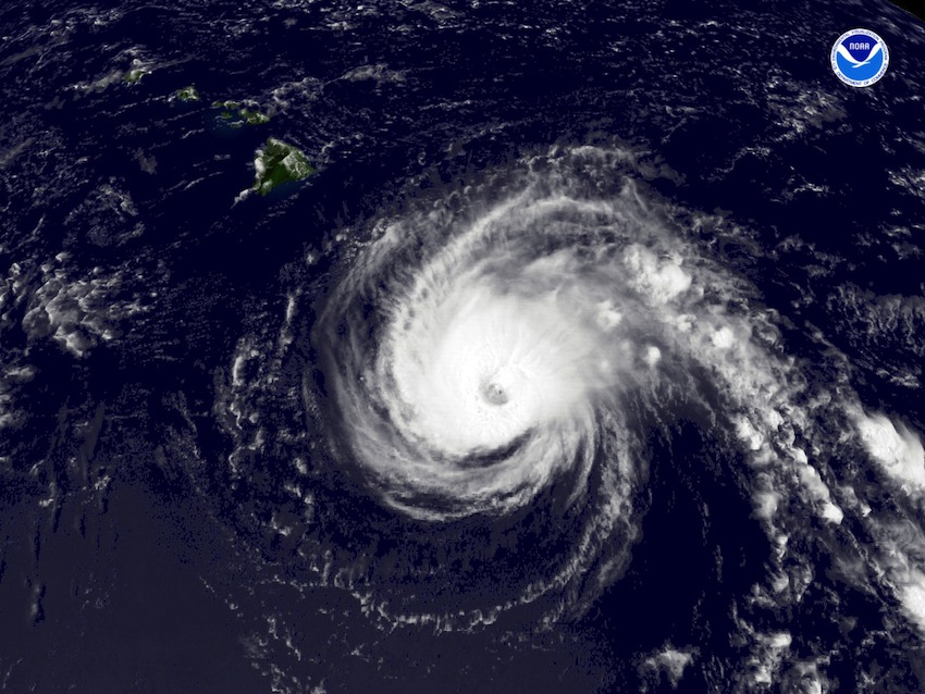
 The Northern Hemisphere summer is nearly here, and with it the hurricane season. With the FPB fleet getting ready to depart New Zealand for points North, and one of the boats thinking about winding up in Hawaii or California, we have been looking at the long range weather forecasts.
As for the Atlantic season the forecast team at Colorado State university says the following:
We anticipate that the 2013 Atlantic basin hurricane season will have enhanced activity compared with the 1981-2010 climatology. The tropical Atlantic has anomalously warmed over the past several months, and it appears that the chances of an El Niño event this summer and fall are unlikely. We anticipate an above-average probability for major hurricanes making landfall along the United States coastline and in the Caribbean. Coastal residents are reminded that it only takes one hurricane making landfall to make it an active season for them, and they need to prepare the same for every season, regardless of how much or how little activity is predicted. (as of 10 April 2013)
You can download the report and updates by clicking here.
For a heads up on the Pacific season as it is looking right now, we asked our favorite weather guy, Rick Shema. Rick’s comments follow:
Yes, I can comment on tropical cyclones (TC’s) in north east Pacific Ocean basin. It looks as though we can expect a near average season for tropical cyclone activity in the north east Pacific Ocean basin.
There has not been as much research in the basin as has the Atlantic Ocean region. Understandably, this likely stems from the relative lack of risk to life and property in the Pacific as most storms spend their life harmlessly at sea, except for mariners.
Statistical numbers of tropical cyclones in the north east Pacific Ocean east of 140 W longitude are generally categorized. That being on average 14-15 named storms per season. Of those TC’s, about three develop into Cat 3 or greater strength hurricanes, eight to nine Cat 1 or 2 hurricanes, and about two to three tropical storms. URL: http://www.nhc.noaa.gov/climo/ has more details.
Of course, any one year TC actively can swing widely from climatological norms. This variation can be mostly attributed to the correlation of global weather oscillations like ENSO (El Nino Southern Oscillation). During El Nino events (warm phase), there can be about three times the number of TC’s in the north east Pacific and any number between depending on the strength of the ENSO cycle. Alternatively, during La Nina events (cold phase) less than average TC’s can be expected in the north east Pacific Ocean basin.
For 2013 tropical cyclone season, forecasts for ENSO are neutral and should not have a major impact on TC activity this year. So, TC activity should be near normal or 14-15 named storms in the north east Pacific Ocean. ENSO cycles are my main criteria for determining TC activity.
Best Regards,
Rick Shema
Mobile: +1-808-291-9949
Toll Free: 1-866-882-9949
email: rick@weatherguy.com
website: www.weatherguy.com
At a later date we will discuss some of the strategies we have used for getting through the North Pacific hurricane belt during the season of tropical storms.
Posted by Steve Dashew (May 20, 2013)